Highways & Road Infrastructure Drone Services
Precision aerial surveys, structural inspections, and progress monitoring for highways and junctions under live traffic conditions.
Drone Innovation for the UK Highways Sector
Actionable Data. Operational Safety.
Aerometrics supports the UK’s Strategic Road Network with drone services that enhance visibility and coordination while significantly reducing trackside risk. We partner with Tier 1 contractors and local transport authorities to deliver surveys and structural inspections that traditionally require expensive traffic management or night-time possessions.
From high-resolution corridor mapping to condition checks on markings, signage, and drainage assets, our UAV workflows provide a rapid, non-disruptive overview of site conditions. This allows engineering teams to make data-driven decisions while keeping the road network moving.
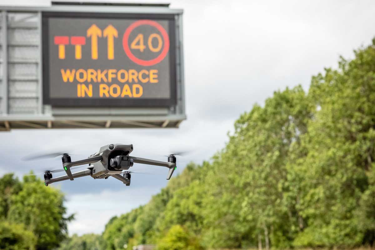
Streamlining Road Infrastructure Delivery
Drones are fundamentally changing how highways projects are planned and delivered. By providing survey-grade accuracy across live junctions and corridors, we eliminate the delays associated with manual site walkovers and traditional access equipment.
Our services support RMU (Repair, Maintenance, and Upgrade) programmes by providing clear visual evidence for asset management. From drainage inspection to safety fence reviews, we help project managers verify completed works and communicate progress to stakeholders with absolute clarity.

Safety-First Operations on Live Networks
Safety is the non-negotiable foundation of our highways operations. Aerometrics is experienced in operating within complex traffic environments, utilizing site-aware procedures that mitigate risk to the public, road users, and site personnel. Published drone survey costs support early budget planning for scheme and network work.
Every project is underpinned by robust, task-specific RAMS and exhaustive pre-deployment planning. We coordinate directly with on-site Traffic Management (TM) teams, utilize Chapter 8 compliant vehicles, and operate under strict CAA authorizations to ensure your survey is delivered responsibly, legally, and without incident.
Trusted by Tier 1 Highways Partners
Aerometrics supports the UK’s leading contractors and transport authorities, providing survey-grade data for the Strategic Road Network. Our UAV outputs are integrated into safety training, project assurance, and infrastructure upgrade documentation nationwide.



Strategic Highways Communication
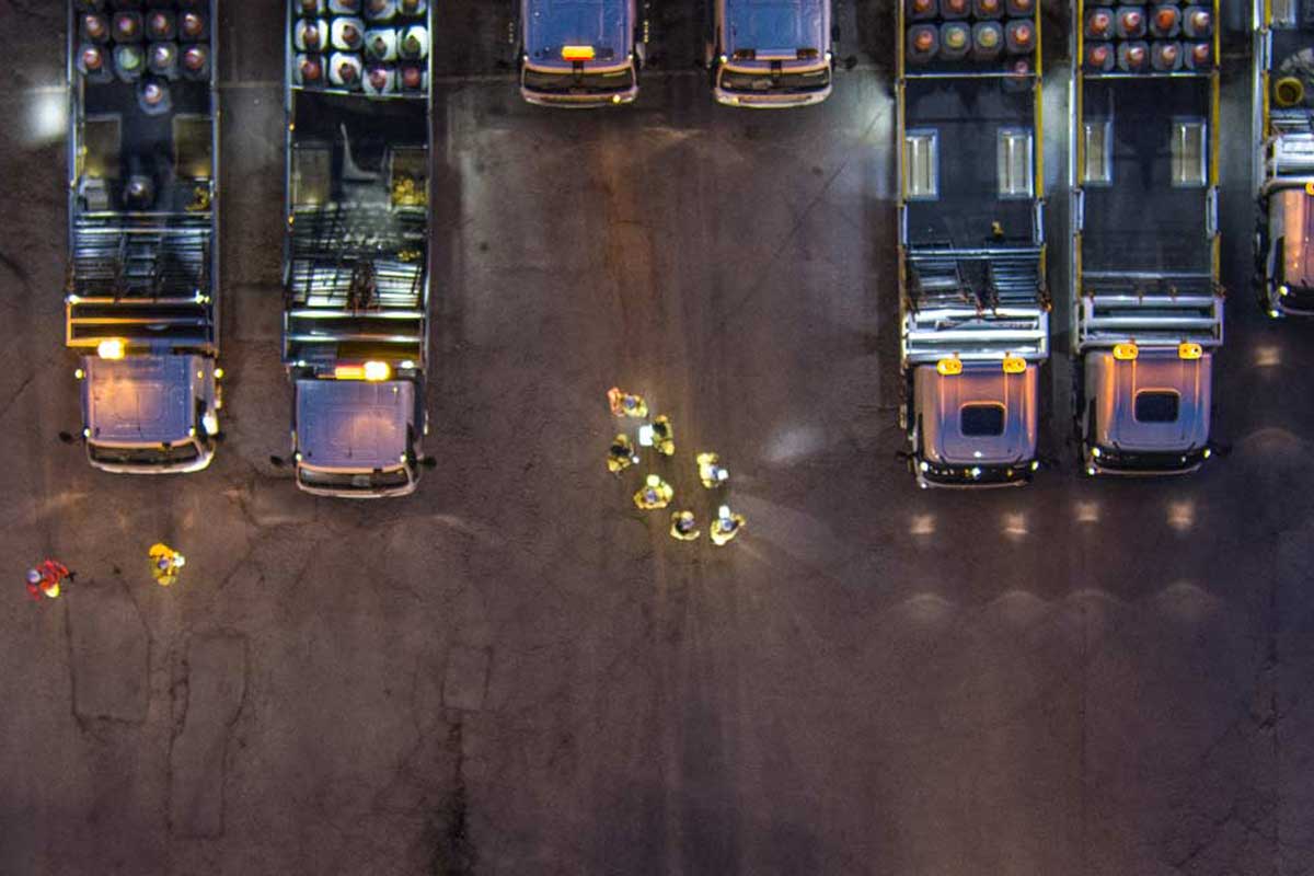
Extensive experience across the Strategic Road Network (SRN) means we understand how technical delivery, safety priorities, and public messaging intersect. Our aerial capture provides the visual evidence needed for safety briefings, stakeholder updates, and project assurance.
We ensure every flight has a defined purpose, producing imagery and video that explains complex works clearly. This reinforces safe practice on-site and supports positive engagement with both internal delivery teams and the wider public.
Highways Data Insight
Network-wide aerial surveys, asset visibility, and change tracking delivered with zero disruption to road users.
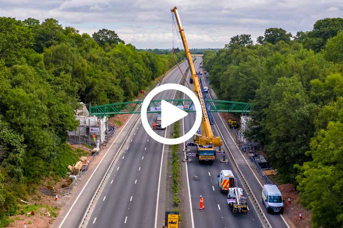
Infrastructure Delivery & Assurance
Aerometrics delivers highways drone services with a focus on reliability, technical efficiency, and acute site awareness. From documenting major infrastructure upgrades to supporting traffic management (TM) and safety initiatives, we operate seamlessly alongside live works.
With fast data turnarounds and robust safety procedures (RAMS), we ensure every flight produces actionable outputs for reporting and stakeholder engagement. Discuss your next highways project with us to see how UAV data can streamline your delivery.
Highways Drone Services: FAQ
- Can you operate drones within live road closures?
- Yes. We regularly operate within planned road closures and controlled traffic management (TM) environments. We coordinate directly with site supervisors to ensure all drone operations are safe, compliant, and integrated into the site's safety plan.
- What is the typical turnaround for highways data?
- We prioritise fast delivery to support safety briefings and daily reporting. Most visual progress monitoring is delivered within 24 to 48 hours via secure cloud transfer.
- Are your pilots qualified for major infrastructure sites?
- Absolutely. Our pilots hold the necessary CAA certifications (GVC/A2 CofC) and are experienced in high-risk highways environments. We operate under task-specific RAMS and our team members hold relevant site safety inductions and CSCS cards where required.
Build confidence in your highways projects
Get In Touch
Whether you're interested in our drone services or have questions about how we can help with your specific project, our team is ready to assist you.
Call Us
Monday–Friday, 9am–5pm
Visit Us
By appointment only